Shift Origin
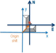
By default, geolocating a product means giving the position on earth of the product local origin. In many cases, it is more appropriate to give the geolocation of a characteristic point inside the product.
The following figure illustrates the shifting operation.
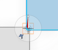
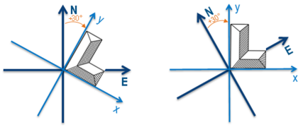
You can change the origin shift and the azimuth in the Geolocation dialog box. The origin shift is visualized in the 3D area by a landmark. This landmark materializes the geolocated position and the azimuth. Click Update to account for the positioning changes.


