Introductory Concepts | ||||
|
| |||
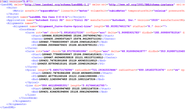
Supported version: LandXML version 1.2.
- Alignment are supported at import and export.
- Horizontal alignment:
- Line-Line
- Line-Curve-Line
- Line-Spiral-Curve-Spiral-Line
- Line-Curve-Curve-Line
- Line-Spiral-Spiral-Line
- Line-Spiral-Curve-Spiral-Curve-Line
- Line-Spiral-Curve-Curve-Spiral-Line
- Curve-Curve-Spiral-Line
- Line-Spiral
- Curve-Line
- Line-Curve-Curve-Spiral-Line
- Curve-Curve-Line
- Line-Curve
- Line-Curve-Curve
- Curve-Spiral-Line
- Vertical alignment:
- PVI
- CircCurve
- ParaCurve(asymmetric and symmetric)
- One horizontal alignment/ one or more vertical alignments
- Horizontal alignment:
- Vertical profile: ProfAlign
- Superelevation data associated to alignement are supported at import and export.
- Geolocation information is supported at import and export
- If the information is missing in the imported LandXML file, you can choose a CRS available in 3DEXPERIENCE.
- You can also overwrite the EPSG information found in the file by selecting another CRS.
- If the EPSG information found in the file has no equivalent in 3DEXPERIENCE, import the EPSG before importing the LandXML file.
- Surfaces are supported at import and export, and created in a dedicated geometrical set under the Terrain node
- Geolocated points are supported at import and export, and created under a dedicated
geometrical set under the alignment representation.
Although geolocated points are points acquired through a topographic survey (Survey Points), they do not represent random points on a terrain, or a speed change position (Event Point), for example. They are reference points (coordinates: Lat/Long and UTM) for a specific project, normally used to:
- Indicate the position for PIs
- Limits of a parcel
- Position of Light Pole
- Vertical Signal
- Representative Trees
- Manhole position
- Reference coordinates
- Etc.